| |
|
| |
Global Partners
Exclusive Representative Contract
with Global Companies |
|
|
|
|
Indoor Location System > NEON Indoor Maps |
| |
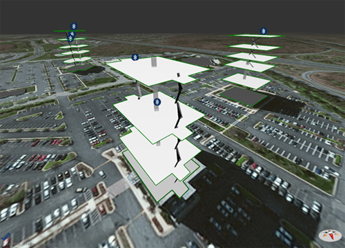
| NEON FeatureSLAMTM Indoor Navigation Maps |
| NEON FeatureSLAM software creates and dynamically updates indoor map data as individuals move about indoor spaces using embedded device sensors. Building structural (e.g. hallways, elevators, exits, stairwells), magnetic, and RF features and signatures are detected, located, and fused to form indoor navigation maps. |
|
 |
This dynamic map building technique provides valuable corrections to support delivery of improved indoor location. It also addresses the challenge of maintaining and updating indoor maps as they change over time. The data produced is easily integrated with and complements indoor map data being made available by leading indoor map suppliers.
Partners interested in integrating the TRX mapping data within their map solution, or in embedding the TRX solution within their application or device should contact TRX at info@trxsystems.com. Partners, application developers, and map enthusiasts interested in creating navigable map data for indoor venues should join the upcoming TRX Indoor Mapping community. |
| * Supported by the National Science Foundation |
|
|